
Assess Existing Conditions & Conduct Site Analysis
Objectively understand your block’s, neighborhood’s, city’s, region’s, or portfolio’s assets and needs.
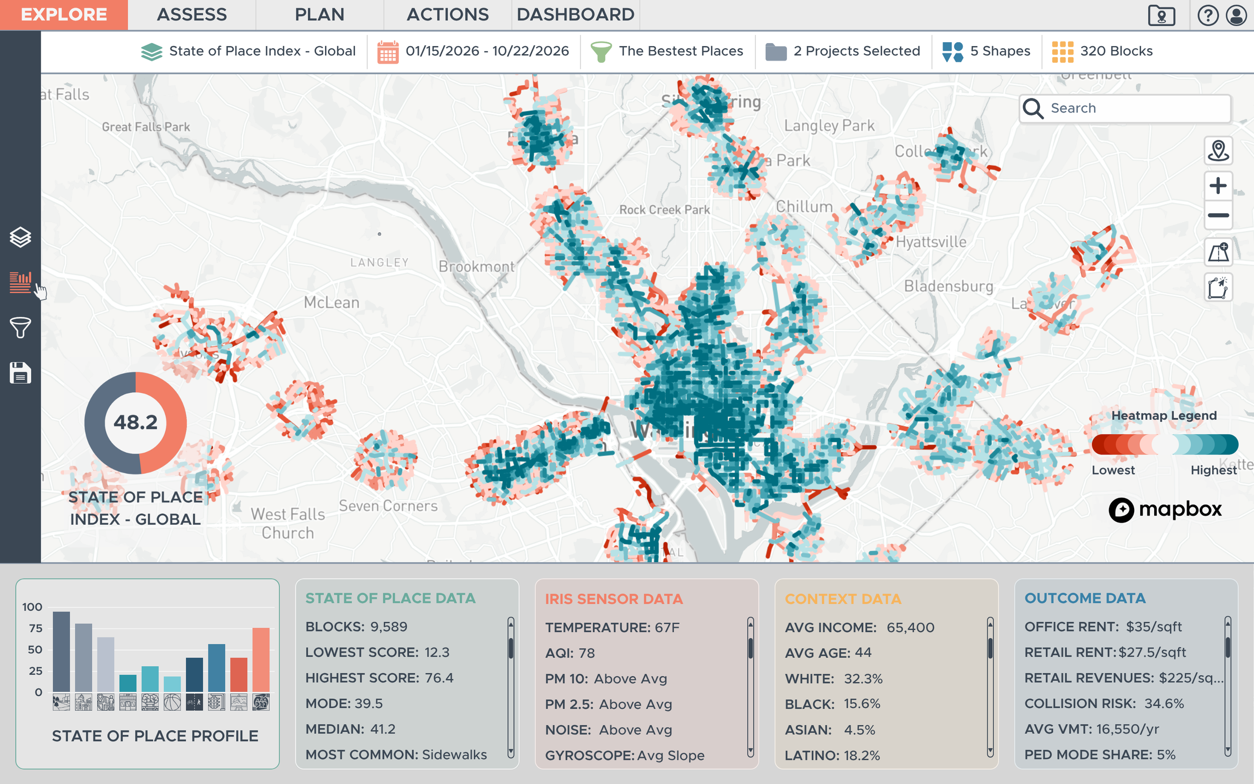
State of Place quantifies why people are drawn to live, work, play, and dwell in places. We use vision language models to extract data on 140+ street-level built environment features (e.g., sidewalks, benches, trees, crosswalks, etc.) from digital images. We pull this “micro-scale” data together into a score from 0-100 that we call the “State of Place Index.” And we break that down into 10 sub-indices that measure key aspects of urban design that have been empirically linked to people’s behaviors, decisions, feelings, and perceptions about places. These include: form, density, connectivity, proximity to non-residential destinations, parks and public spaces, recreational facilities, pedestrian & bicyclist amenities, traffic safety, aesthetics and personal safety.
Benefits:
Understand the assets and needs of blocks, neighborhoods, districts and markets.
Discover value-add opportunities.
Benchmark existing places.
Compare communities objectively.
Identify at-risk places.
Uses:
Comprehensive/General plan updates
Masterplanning
Capital improvements budgeting
Asset management
Land acquisition
Siting
Tenant rep management