
Does Atlanta’s Eastside Beltline Trail help your beltline? Your Bottomline? State of Place Reports from IDA
So I just arrived in Atlanta this morning for the International Downtown Association conference. Unfortunately, I’m missing the uber popular Beltline bike tour - but I have two good excuses: 1) I sadly still don’t really know how to ride a bike (I know, that’s sacrilege for an urbanist!) and 2) a power nap was in serious order, as it’s likely I’ve traveled the furthest to geek out about placemaking at IDA (seriously, I left Shanghai at 730am Atlanta time yesterday!). The good news is that my awesome team spent some QT on Google Streetview last week to help us all explore the Beltline in a slightly different way - through data.
Now, I suppose you could have just looked up the Beltline’s Walk Score (or Bike Score) - but, as one of our clients, the City of Tigard, has put it, we’re kind of like Walk Score on steroids (in fact, you can read about the more nerdy differences here, here, and in a forthcoming blog post - stay tuned). Long story short, though, we quantify what people love about cities (based on over 290+ urban design features, like street trees, sidewalks, benches - hence the steroids reference) as well as why it makes economic sense to make them better. Why? Not (just) because we love data...but because this data helps cities tell a story about why place matters, why their visions should be approved, why place-based economic development should be the new normal.
So how does the Beltline hold up? 66.5. Pretty good!
Now, it’s important to note that a 66.5 on State of Place isn’t the same as a 66.5 on Walk Score. Even though the State of Place Index is also scored from 0-100, think of the State of Place Index as a diagnosis.
In fact, a closer look at the State of Place Profile highlights the Beltline area’s built environment assets and needs. This is because our mission isn’t to rank places, but to help you create an evidence-based strategic framework for how to get from where you are to where you want to be - and establish an economic justification for these plans so you can get multiple stakeholders on board, including those NIMBYs, traffic engineers, and more (so yes, establish Progress through Partnership!).
So for the Beltline, it’s clearly a welcome respite from the mostly car-dominated landscapes of metro Atlanta (and can facilitate a healthy beltline and bottomline!). But there’s room for improvement in the streets surrounding the Beltline in terms of increasing density, adding more destinations, and improving pedestrian amenities. And with our newly minted software (shout out to Raphael Clemente of the West Palm Beach DDA, one of our pilot users, who is also attending IDA!), you can identify the specific improvements that will have the biggest bang for your buck, run scenario analyses to see how your project would increase your State of Place, AND forecast the ROI of proposed projects (based on associated premiums from office, retail, and residential rents, retail revenues, and residential values).
Source: sites.gsu.edu

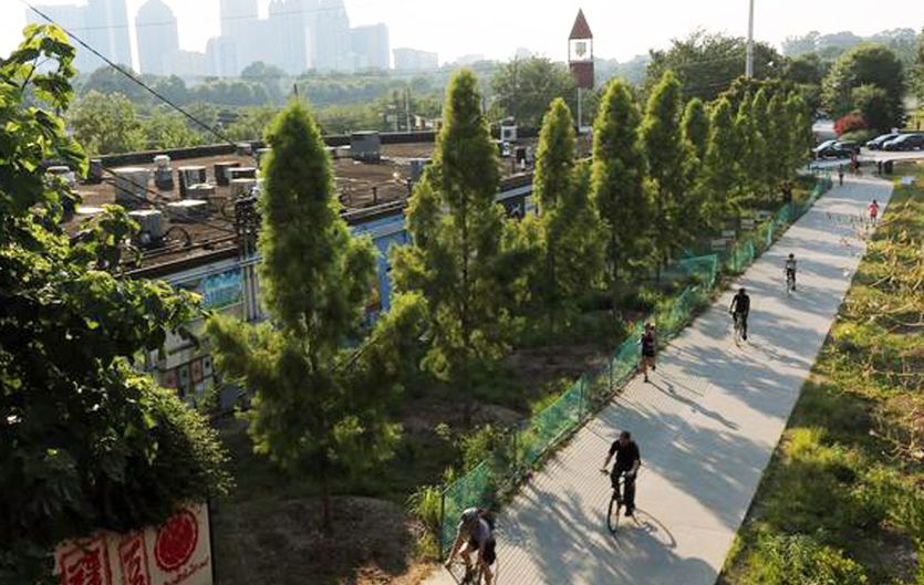
Google Street Aerial View


I’d love to connect with other folks at IDA passionate about place-based economic development and explore potential ways to collaborate to make better places that are good for the public good and the public purse! Please come find me, text me (305-528-2642), or email me. And even if you don’t want to geek out about place, I am also a foodie here by myself and in need of some eating companions too! And if you’re not at IDA, we’d still love to chat: we have a nifty online scheduler you can use or just email me!